AI-Based Crop Monitoring
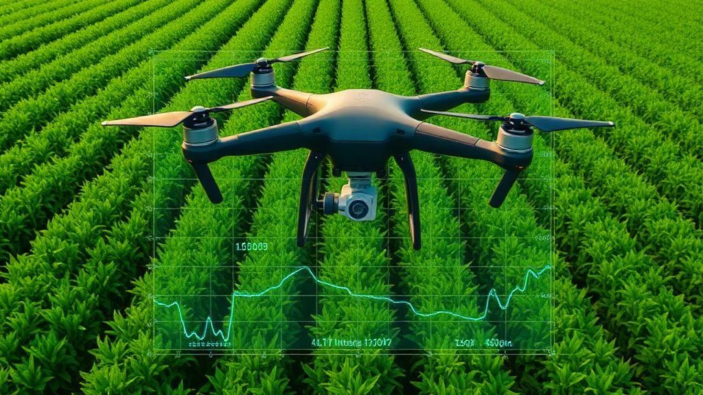
AI-powered crop monitoring uses drone imagery and vegetation indices to assess crop health, detect stress early, and improve yield outcomes.
- NDVI-based crop health analysis
- Satellite-based regional crop analysis (Sentinel-2 / Landsat)
- Early pest & disease detection
- Water and nutrient stress monitoring
- Yield prediction & planning
What is Crop Monitoring?
Crop monitoring uses drone imagery, multispectral sensors, and AI analytics to continuously assess crop health. Vegetation indices such as NDVI reveal stress, nutrient deficiency, disease spread, and irrigation gaps before yield is affected.
Technology & Data Used
Drone & Multispectral Imaging
High-resolution RGB & multispectral data capture.
NDVI & Vegetation Indices
Measure plant vigor and stress levels accurately.
Satellite Remote Sensing
Sentinel-2 & Landsat imagery for regional, multi-temporal crop analysis.
AI & Machine Learning
Automated pattern detection and trend analysis.
Reliable & Scalable
Enterprise-grade analytics for large farms.
Drone + Satellite — Two Scales of Intelligence
Drones give you plot-level precision; satellites give you regional reach. We combine both so nothing falls through the gap between a single field and an entire district.
Drone-Level Precision
High-resolution multispectral imagery captured at low altitude — built for a single farm, orchard or plot where centimetre-scale detail matters.
- Centimetre-scale NDVI accuracy per plant row
- On-demand flights — fly exactly when you need data
- Ideal for 1–500 acre farms and plantations
Satellite-Level Scale
Sentinel-2 and Landsat imagery processed over time to track crop health across villages, blocks or entire districts — no flight required.
- Multi-temporal NDVI trends across full growing seasons
- Regional coverage for government and large-enterprise programs
- Drought, flood & sowing-pattern monitoring at scale
Fused analysis: Satellite data flags the zones that need attention across a wide area; drone flights then capture high-resolution follow-up imagery exactly where it's needed — giving you both reach and precision without flying every acre, every week.
Industry-Focused Crop Monitoring
Large-Scale Commercial Farms
Monitor thousands of acres efficiently with zone-wise NDVI analysis, crop health maps, and yield forecasting.
Precision & Smart Farming
Enable data-driven decisions using AI insights for irrigation, fertilization, and pest control at plot level.
AgriTech Companies
Support digital agriculture platforms with crop intelligence, health analytics, and satellite-drone data integration.
Government & Agriculture Departments
Crop assessment, drought monitoring, subsidy validation, and large-scale agricultural planning.
Plantations & Horticulture
Monitor orchards, vineyards, and plantations for disease spread, water stress, and growth uniformity.
Research & Advisory Services
Accurate crop data for research trials, advisory recommendations, and seasonal crop analysis.
How Crop Monitoring Works
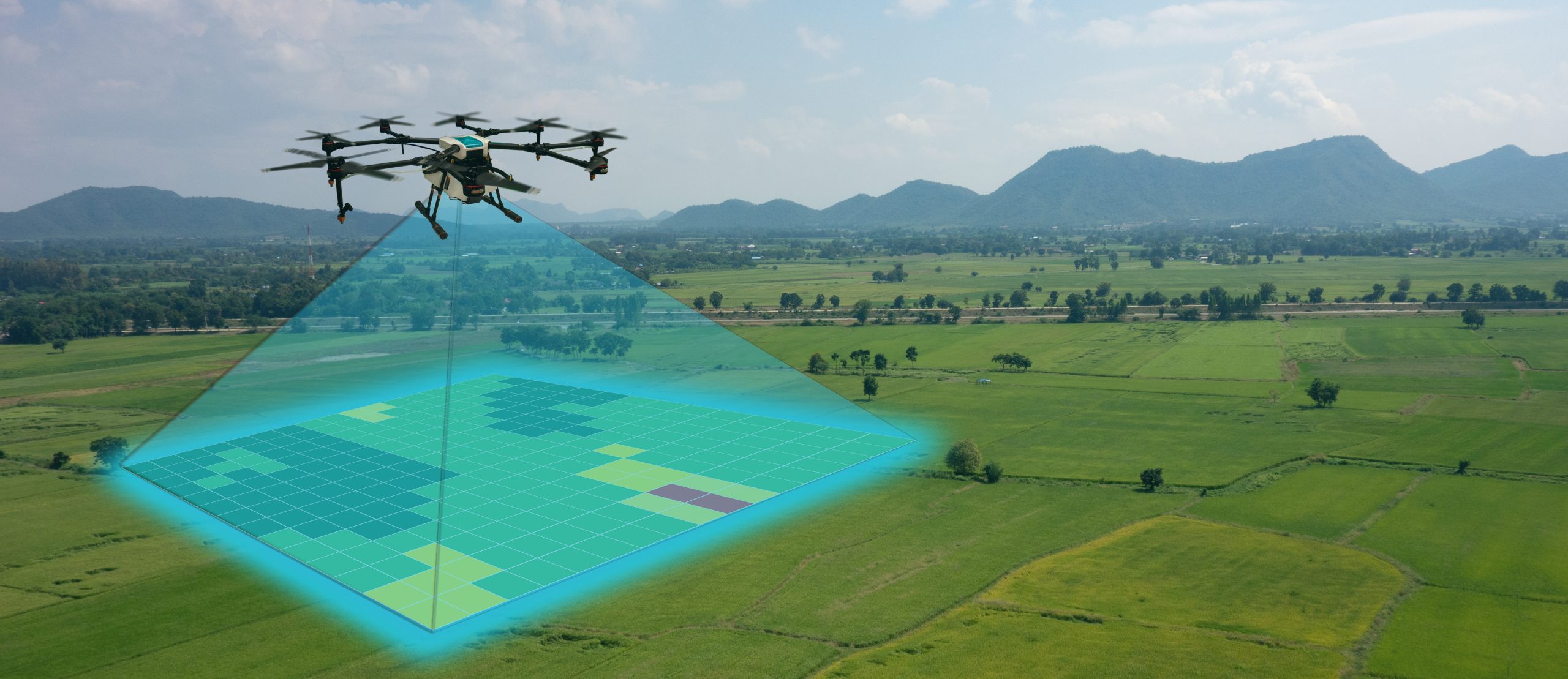
Drone-Based Data Capture
High-performance agricultural drones autonomously survey the entire farm, capturing high-resolution RGB and multispectral imagery across all crop zones.
- Multispectral sensors capture visible and near-infrared light reflected by crops
- Complete field coverage in minutes—even for large farms
- Low-altitude flights ensure high spatial accuracy
- Non-invasive data collection without damaging crops
- Works across different crop stages and terrains

NDVI Heatmap & AI Analysis
Captured imagery is processed to generate NDVI heatmaps that visually represent crop health, vigor, and stress levels across the field.
- NDVI compares near-infrared and red light reflectance
- Green zones indicate healthy, high-vigor vegetation
- Yellow zones highlight early stress or nutrient deficiency
- Red zones reveal severe stress, disease, or crop loss
- AI models analyze patterns to detect disease, pest attacks, and irrigation gaps
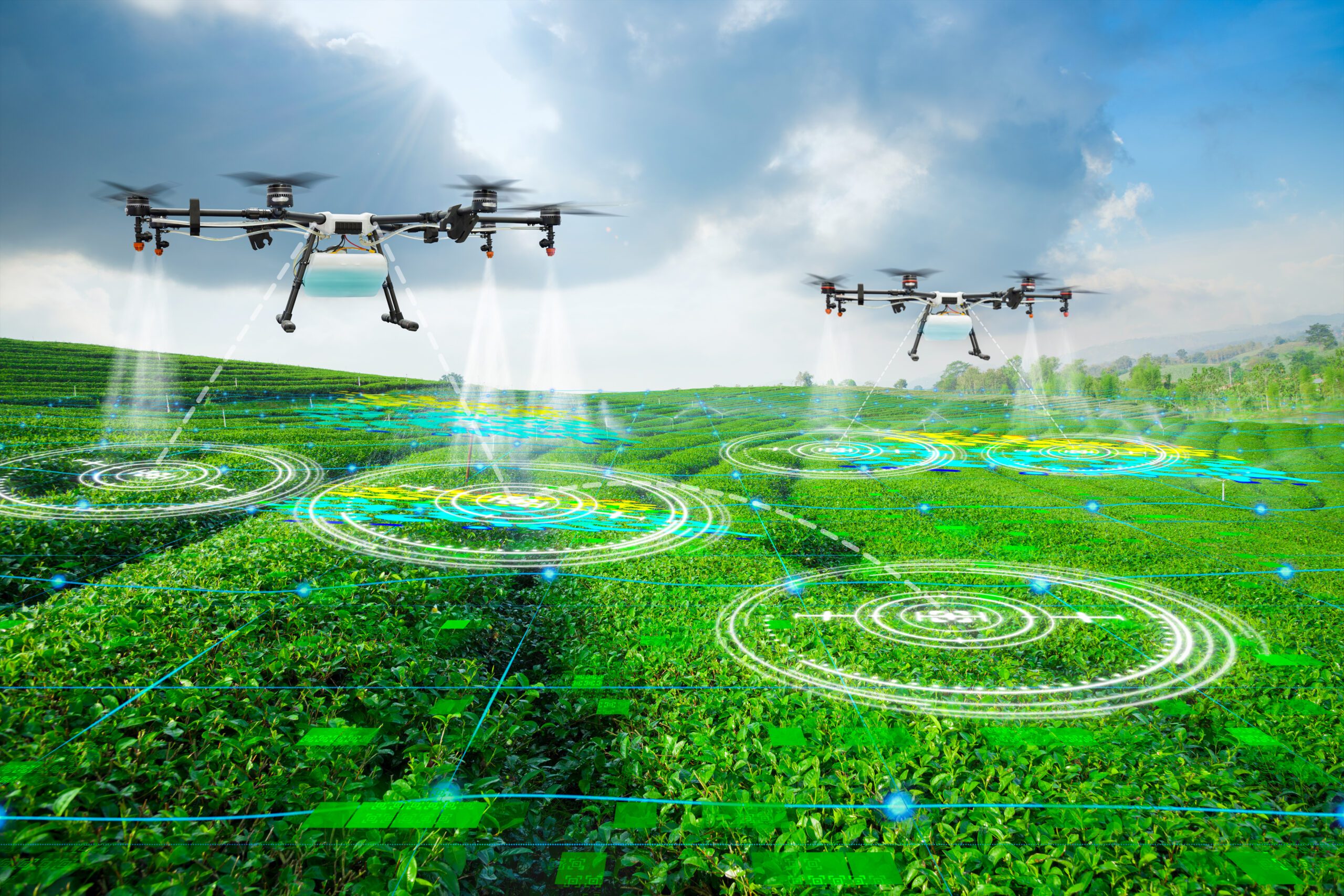
Actionable Insights & Crop-Specific Recommendations
AI-driven analytics convert NDVI and historical data into precise, field-level recommendations tailored to each crop type and growth stage.
- Irrigation scheduling based on actual crop water stress
- Fertilizer optimization to reduce overuse and cost
- Early disease and pest alerts for timely intervention
- Zone-wise treatment instead of blanket spraying
- Yield prediction to support harvest and market planning
Benefits of Crop Monitoring
Early Stress Detection
Identify crop stress, disease, or nutrient deficiency at an early stage—before visible damage appears.
Higher Crop Yield
Timely interventions based on NDVI and AI insights help maximize yield and crop uniformity.
Reduced Input Costs
Optimize fertilizer, water, and pesticide usage through zone-specific treatment instead of blanket application.
Efficient Water Management
Detect irrigation gaps and water stress zones to improve water efficiency and prevent wastage.
Data-Driven Farming Decisions
Make confident decisions backed by real-time field data, trends, and predictive analytics.
Risk Reduction & Planning
Forecast yield, assess crop performance, and plan harvesting and market strategy with confidence.
Grow Smarter.Farm Better.
Make data-driven farming decisions with AI-powered crop monitoring solutions from Aeronics.
Start Crop Analysis