DGPS & Bathymetric Survey
Precise ground control and underwater terrain data for rivers, canals, reservoirs, lakes and intake structures — the engineering-grade foundation beneath every drone survey we deliver.
DGPS (Differential GPS) ground control gives every aerial survey a centimeter-accurate reference frame. Bathymetric and hydrographic surveys extend that same precision below the waterline — depth profiling, channel morphology, sediment and scour assessment — for embankment design, river training, desiltation planning and water resource management.
- DGPS ground control points for survey-grade geo-referencing
- Single-beam & multi-beam bathymetric depth profiling
- River cross-sections and channel morphology studies
- Sediment and scour assessment support

Two Disciplines, One Survey Team
DGPS & Ground Control
Differential GPS and total-station workflows establish precisely surveyed reference points across a project site. These ground control points are what let every drone, LiDAR or satellite dataset we produce be trusted at engineering scale — for route alignment, as-built verification, and corridor surveys.
- Survey-grade GCPs for roads, canals, industrial sites and solar parks
- Route alignment and engineering base maps
- Pre-construction planning and as-built verification
Bathymetric & Hydrographic
Depth profiling and channel surveys for rivers, canals, reservoirs, lakes and intake structures, feeding directly into flood routing, inundation studies, drainage assessment and watershed planning.
- River cross-sections and channel morphology studies
- Sediment and scour assessment support
- Embankment design and river-training proposal support
How Our Survey Process Works
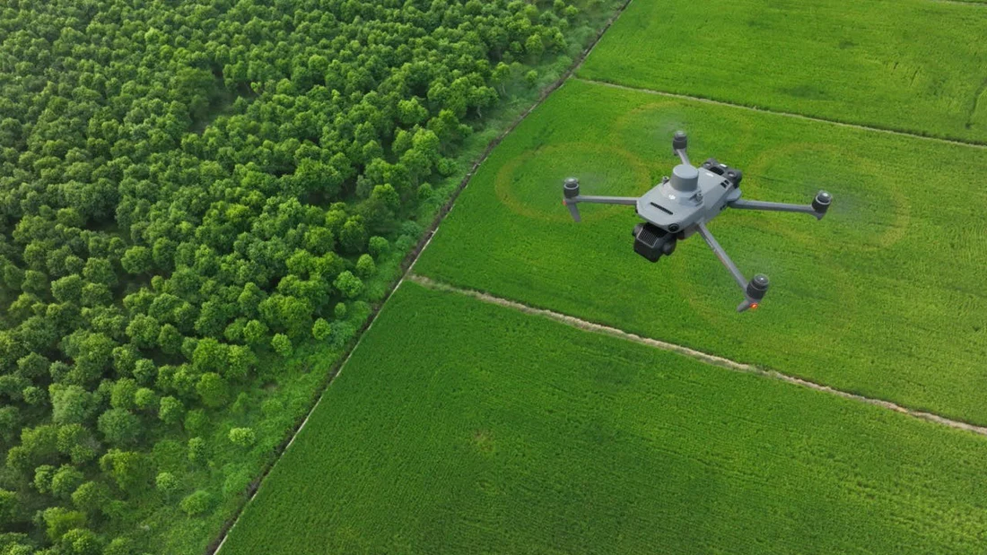
Site Assessment & Requirement Analysis
We review project objectives, waterbody or corridor extent, required accuracy, and expected deliverables, along with access conditions and any permissions needed before mobilizing equipment.
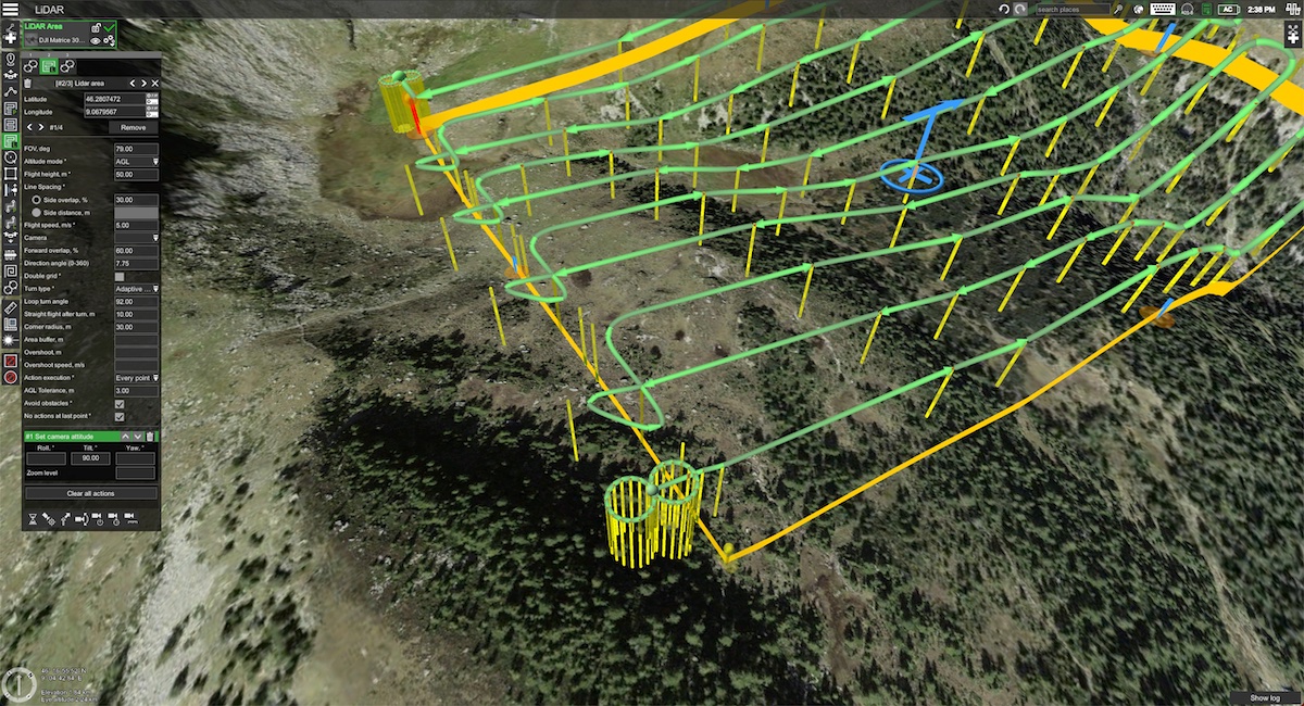
Control Network & Mission Planning
DGPS base stations and ground control points are planned across the site. For bathymetric work, transect lines and sounding density are set to match the required resolution of the final depth model.

Field Data Capture
Our survey teams capture GCP observations and echo-sounder depth data (single-beam or multi-beam, depending on scope), geotagged and time-synced for accurate downstream processing.
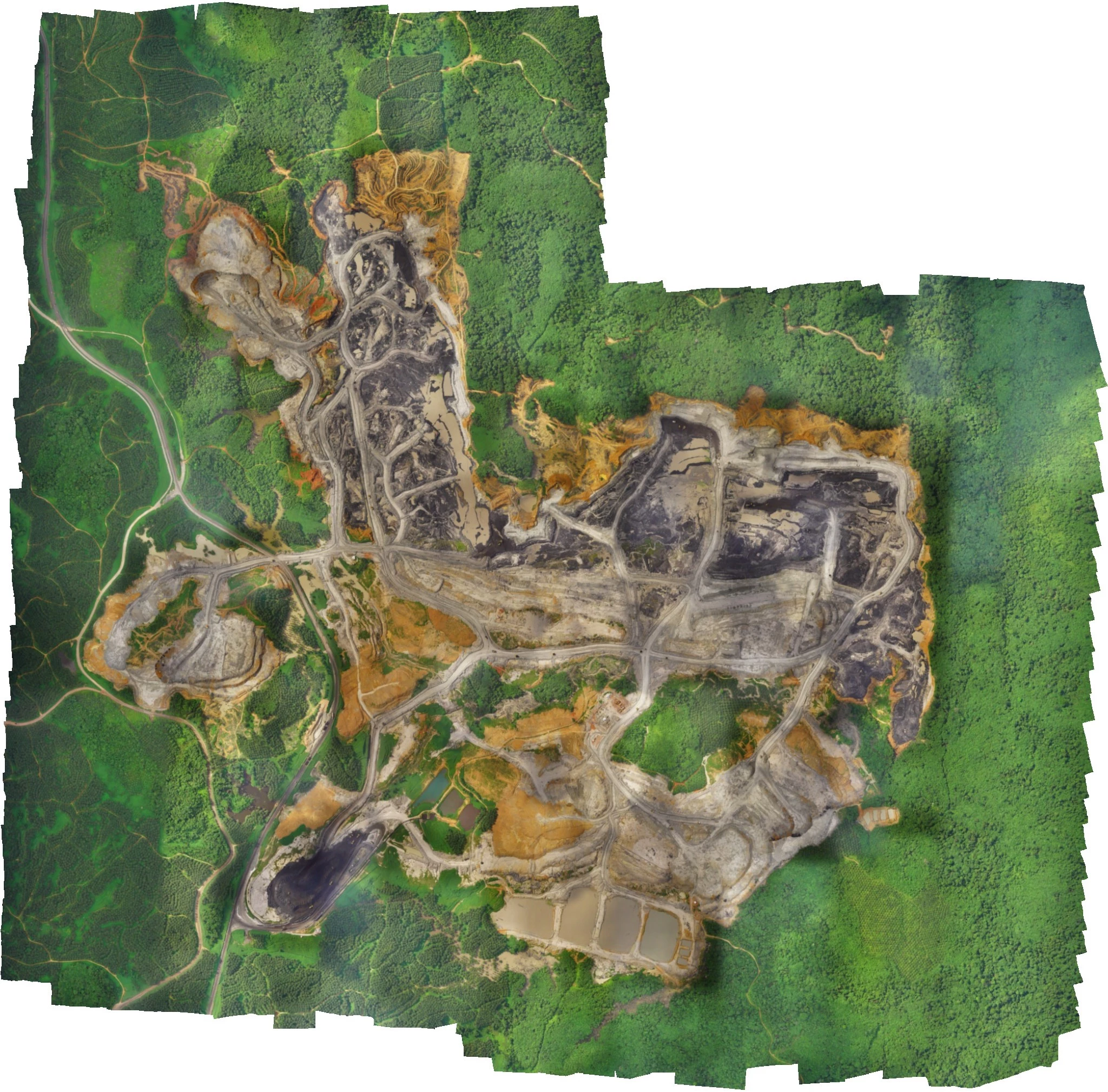
Data Processing & Modeling
Raw observations are processed into corrected control coordinates and bathymetric surfaces — cross-sections, channel morphology, and volumetric change where repeat surveys are involved.
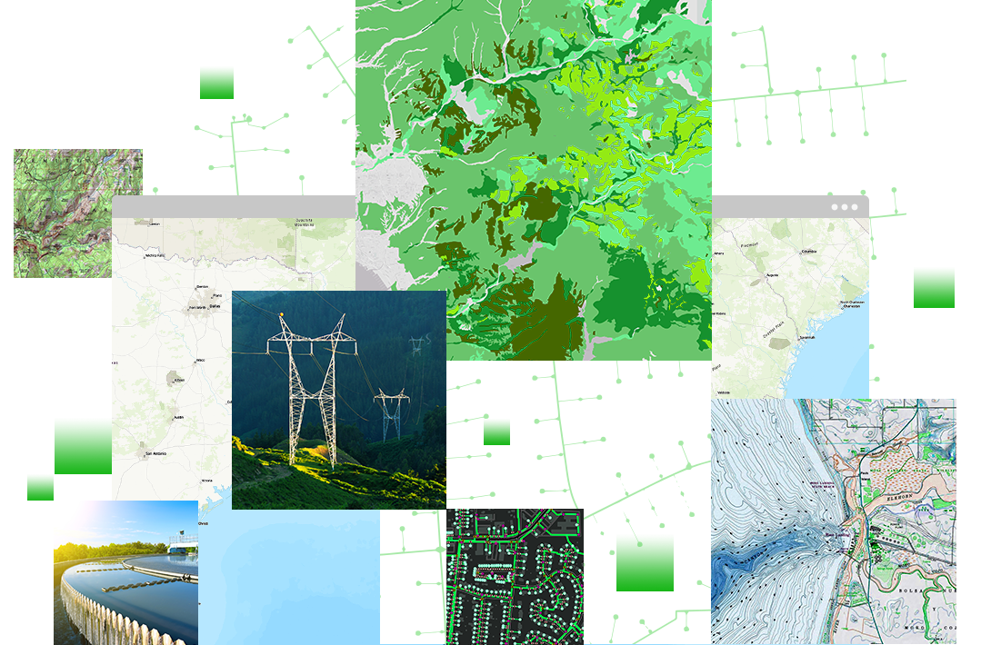
Validation & Final Delivery
Outputs are checked against control and delivered as GIS-ready layers, cross-section drawings, and reports suited to design, planning and regulatory submission.
Where This Gets Used
Embankment & River Training
Design support for embankment prioritization and river-training proposals.
Desiltation Planning
Sediment and scour data to plan and justify desiltation works.
Intake & Infrastructure
Depth and channel data around intake structures, bridges and crossings.
Engineering Base Maps
Ground control feeding every drone and GIS deliverable with survey-grade accuracy.
Need DGPS or Bathymetric Survey Data?
Talk to our survey team about ground control, river, canal or reservoir bathymetry for your project.
Get in Touch