Drone Videography
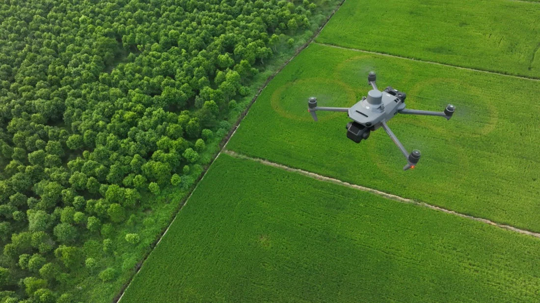
Aerial footage that does two jobs at once: technical documentation engineers can rely on, and cinematic visuals that communicate scale and progress to stakeholders.
We shoot technical videography of irrigation canals, rivers and infrastructure corridors for engineering records and progress review, alongside promotional and documentary footage for project launches, site walkthroughs and corporate communication.
- Technical videography of canals, rivers & infrastructure corridors
- Project progress and construction documentation
- Promotional & corporate aerial films
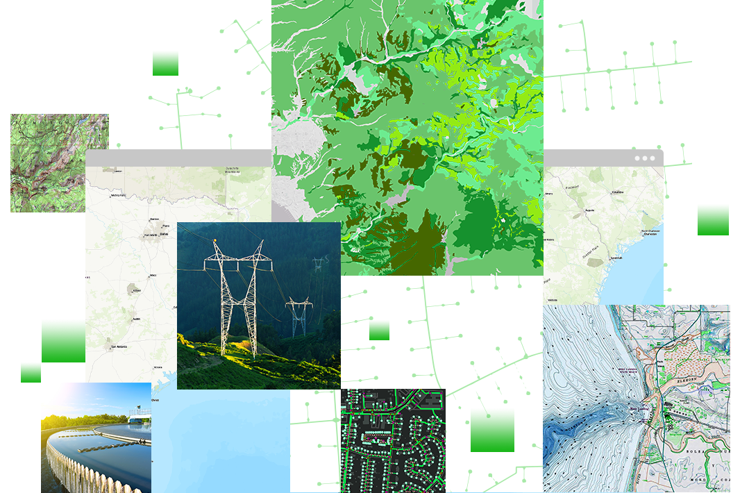
- High-resolution footage synced with survey & GIS data

Technical Record, Cinematic Delivery
Technical & Engineering Videography
Flown along defined corridors — canals, rivers, roads, transmission lines — to create a dated visual record engineers and project managers can use for progress review, encroachment checks and maintenance planning.
- Irrigation canal and river corridor documentation
- Construction progress capture over time
- Footage time-stamped and geo-referenced for records
Promotional & Corporate Films
Cinematic aerial sequences for project launches, facility walkthroughs and corporate communication — shot to the same flight-safety and site-access standards as our technical work.
- Project launch and milestone films
- Facility and site walkthrough footage
- Edited delivery ready for presentations and social media
How We Plan Every Shoot
Brief & Site Assessment
We confirm the purpose of the footage — technical record, promotional film, or both — and assess the site for flight permissions, access, and safety considerations.
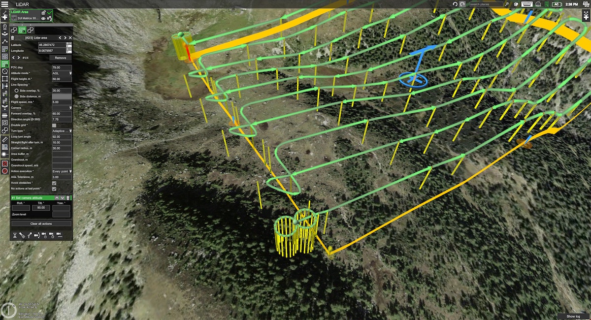
Shot & Flight Planning
Flight paths and shot lists are planned to cover the required corridor or site comprehensively, with lighting and timing chosen to suit the intended use of the footage.

Aerial Capture
Licensed drone pilots capture high-resolution video and stills, geo-referencing technical footage so it can be tied back to survey and GIS records.
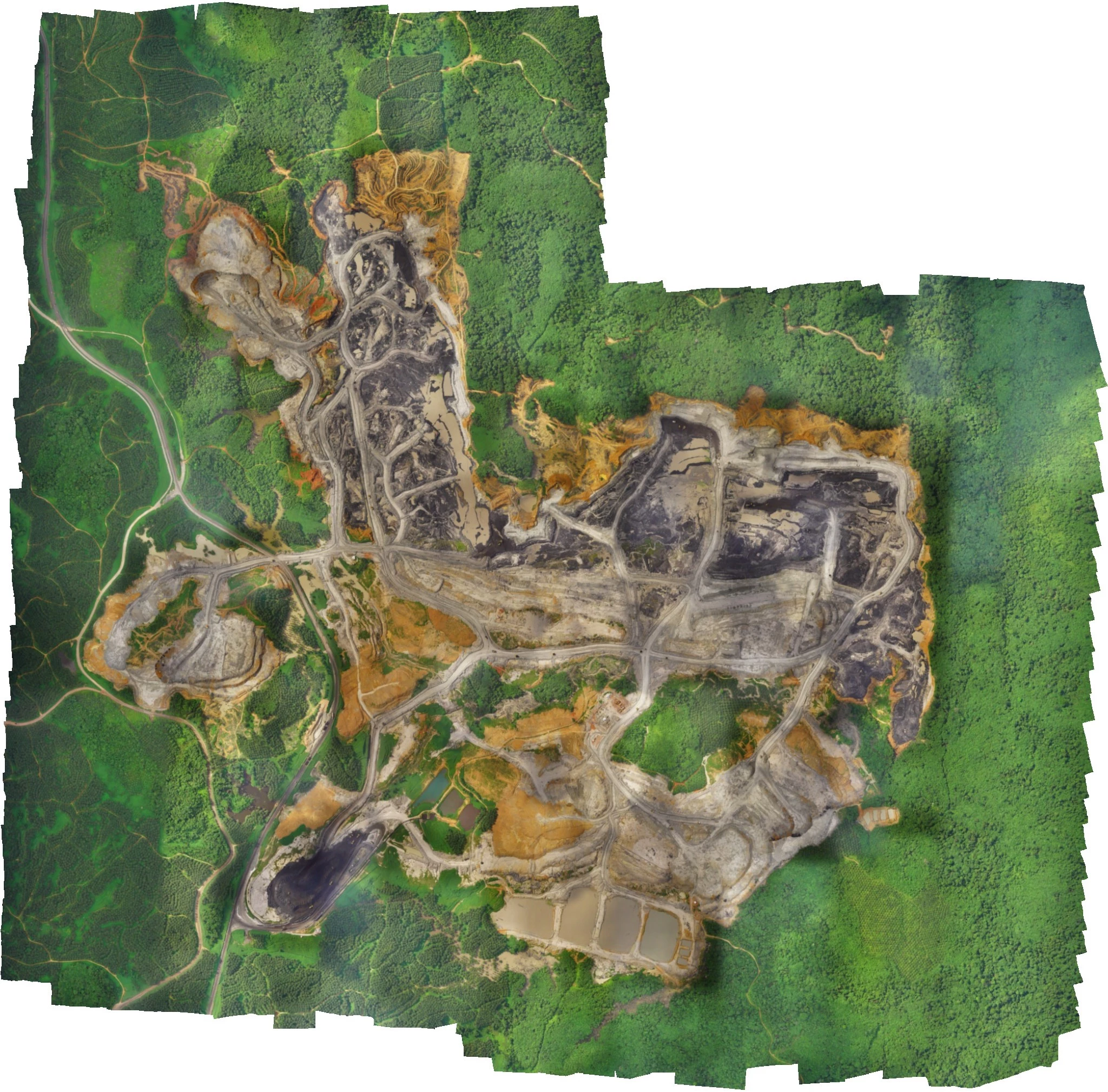
Editing & Post-Production
Footage is reviewed, color-graded and edited into the final deliverable — a technical record log or a finished promotional film, as the project requires.
Delivery
Final footage and edited films are delivered in the format and resolution needed, with raw footage archived for future reference where required.
Where This Gets Used
Canal & River Documentation
Visual corridor records for irrigation and river channelization projects.
Construction Progress
Dated footage for progress tracking and stakeholder review.
Project Launch Films
Aerial sequences for inaugurations, milestones and announcements.
Corporate & Site Films
Facility walkthroughs and brand films for presentations and marketing.
Need Aerial Footage for Your Project?
Talk to our team about technical documentation or promotional drone videography for your site.
Get in Touch