GIS, Flood Mapping & Property Tax Software
Geospatial intelligence that turns satellite, drone and survey data into decision-ready maps, flood-risk insight, and digitized property records for municipalities, water boards and government departments.
From watershed-scale flood planning to parcel-level property tax digitization, we build GIS applications and dashboards that put spatial data in front of the people who make budget, planning and relief decisions — not locked away in a shapefile.
- GIS applications & web-based mapping dashboards
- Satellite-based remote sensing for flood & inundation mapping
- Flood planning and decision-support systems
- Property survey and property tax software for ULBs/municipalities

Three Pillars of Geospatial Governance
GIS Applications
Custom GIS layers, map-based dashboards and spatial databases that bring drone, satellite and survey data together in a single, queryable system for planning and monitoring.
Flood Mapping & Decision Support
Satellite remote sensing and hydraulic data combine into flood extent and inundation maps, supporting early-warning, relief planning and embankment prioritization decisions.
Property Survey & Tax Software
Drone and ground survey of urban parcels feeds property digitization and tax-assessment software, helping municipal bodies widen and correct their tax base.
How We Build These Systems
Requirement & Scope Assessment
We work with the department or municipal body to define the geographic extent, data layers, and decisions the system needs to support — flood season planning, tax-base expansion, or both.
Data Acquisition Planning
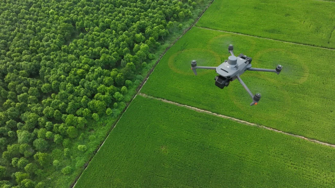
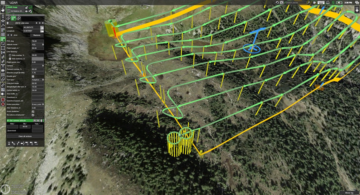
Satellite imagery, drone orthomosaics, DGPS ground control and existing records are identified and scheduled, matching resolution and timing to the use case (e.g. pre-monsoon baseline for flood mapping).

Field & Remote Data Capture
Drone surveys, ground verification and satellite tasking capture the raw imagery and survey data that will populate the GIS layers and property records.
GIS Processing & Application Build
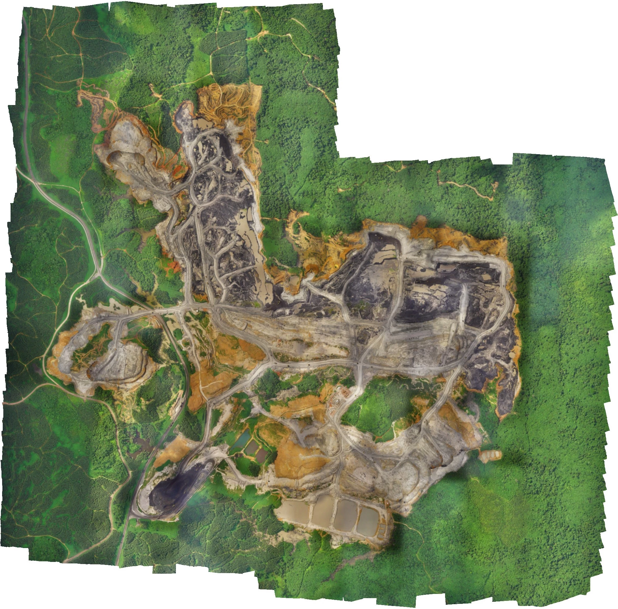
Imagery is processed into georeferenced layers; property records are digitized and linked to parcels; flood models and dashboards are built on top of the resulting spatial database.
Deployment & Handover
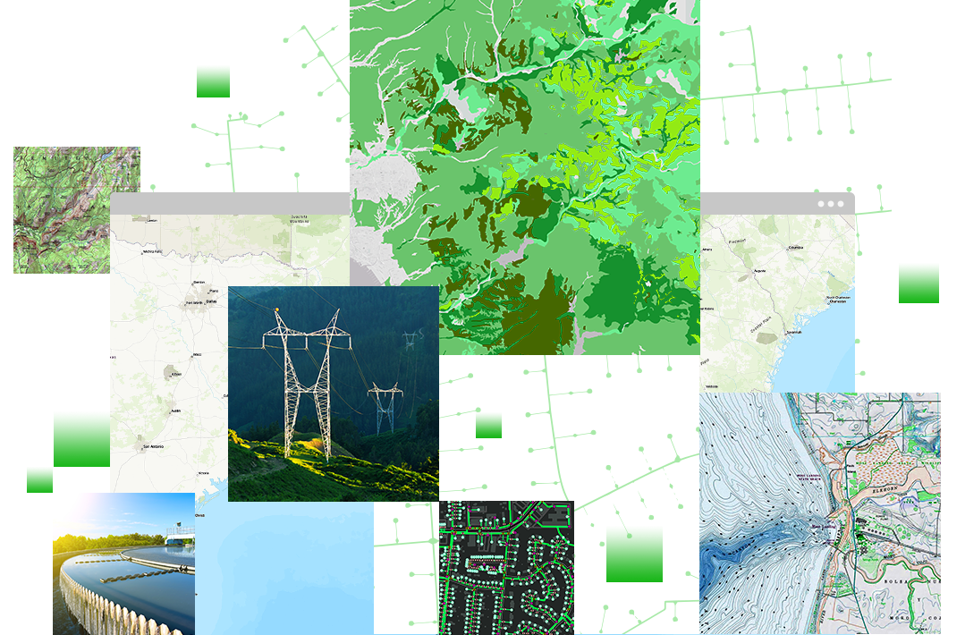
The finished GIS application, flood decision-support tool or property tax system is deployed, documented, and handed over with training for the department's own staff.
Built For Government & Municipal Bodies
Watershed & Planning GIS
District and watershed-level GIS layers for infrastructure and land-use planning.
Early Warning & Relief
Flood extent mapping to support early-warning and relief-resource allocation.
Urban Parcel Digitization
Drone-surveyed parcel boundaries digitized for municipal land records.
Tax Base Expansion
Property tax software that helps municipalities identify under-assessed or unlisted properties.
Planning a GIS, Flood Mapping or Property Tax Project?
Talk to our geospatial team about a system built for your department's actual data and decisions.
Get in Touch